251
FXUS66 KSGX 171145
AFDSGX

Area Forecast Discussion
National Weather Service San Diego CA
445 AM PDT Fri Apr 17 2026

.SYNOPSIS...
Offshore flow will bring warming for the coast and valleys today.
North winds along and below the coastal slopes of the Santa Ana
Mountains and San Bernardino County mountains will gust to 35 to
45 mph through this morning. Inland areas will warm through the
weekend while coastal areas begin to cool on Sunday. Onshore will
begin to strengthen and spread cooling inland on Monday as a low
pressure system moving into California brings cooler and breezy
conditions for the middle of next week.

&&

.DISCUSSION...FOR EXTREME SOUTHWESTERN CALIFORNIA INCLUDING ORANGE...
SAN DIEGO...WESTERN RIVERSIDE AND SOUTHWESTERN SAN BERNARDINO
COUNTIES...

.SHORT TERM (Today through Sunday)...
Northerly winds will strengthen along and below the coastal
slopes of the Santa Ana mountains and San Bernardino County
mountains into this morning. The winds will gust to 35 to 45 mph
with isolated gusts near and below the Cajon Pass to 55 mph.

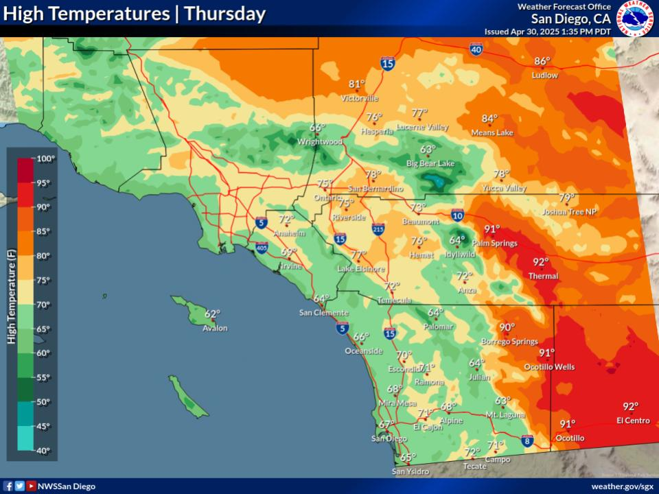
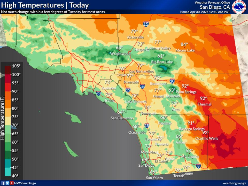
High temperatures for the coast and valleys will warm around 4 to
8 degrees today while the deserts cool around 5 degrees. High
temperatures for today will range from around 70 near the coast to
the 70s to around 80 for the valleys and inland Orange County
with the lower deserts in the lower to mid 80s.

Warming on Saturday will range from a degree or two near the
coast to 5 to locally 10 degrees for the deserts. The mountains
and deserts will warm another 5 degrees on Sunday with the coast
and western valleys cooling a few degrees. High temperatures on
Sunday will be 5 to 10 degrees above average, ranging from around
70 near the coast to the upper 70s to mid 80s for the Inland
Empire with the lower deserts in the lower to mid 90s.

&&

.LONG TERM (Monday through Thursday)...
Onshore flow will begin to strengthen on Monday and begin to
spread cooling inland with Monday high temperatures a few to
around 5 degrees above average. A low pressure system moving into
California some time around late Tuesday and Wednesday will bring
cooler and breezy conditions along with a slight chance of
showers. High temperatures for next Wednesday will fall to around
average near the coast to 5 to locally 10 degrees below average
for the mountains. High temperatures for next Wednesday will
range from the mid to upper 60s near the cast to the lower to mid
70s for the Inland Empire with the lower deserts in the lower to
mid 80s.

&&

.AVIATION...
171145Z...Coast/Valleys/Coastal Slopes...Low clouds have been
steadily climbing overnight with current bases 2500-3500ft MSL.
Intermittent SCT/BKN cigs still exists in the valleys and coastal
slopes but will continue to clear through 15-16Z. Coastal areas have
scattered out but could still see lingering low clouds through the
early morning hours. North to northeast winds are expected to become
elevated around 14-16Z along coastal slopes in San Bernardino
County. Winds will spread through the Cajon Pass into the Inland
Empire and the Santa Ana mtns. Expect gusts 35-45 mph, locally up to
50 mph through wind prone passes and coastal slopes. MOD
up/downdrafts in lee of mountains. Winds weaken and eventually
diminish by the afternoon.

Desert Slopes/Deserts...Still seeing some gusty winds in the
deserts, desert slopes and through mountain passes but will weaken,
with the exception of the northern Coachella Valley, after the winds
shift to northerly. MOD up/downdrafts in lee of mountains.

&&

.MARINE...
No hazardous marine conditions are expected through Tuesday.

&&

.SKYWARN...
Skywarn activation is not requested. However weather spotters are
encouraged to report significant weather conditions.

&&

.SGX WATCHES/WARNINGS/ADVISORIES...
CA...Wind Advisory until 5 PM PDT this afternoon for Orange County
     Inland Areas-San Bernardino County Mountains-San Bernardino
     and Riverside County Valleys-The Inland Empire-Santa Ana
     Mountains and Foothills.

PZ...None.

&&

$$

PUBLIC...17
AVIATION/MARINE...Villafane


