
Tuesday Sunny |
Wednesday Sunny |
Thursday Sunny |
Friday Sunny |
Saturday Sunny |
Sunday Sunny |
Monday Sunny |
|
| High: 85 °F | High: 85 °F | High: 87 °F | High: 90 °F | High: 92 °F | High: 91 °F | High: 89 °F | |
Overnight Mostly Clear |
Tuesday Night Mostly Clear |
Wednesday Night  Clear |
Thursday Night Mostly Clear |
Friday Night Mostly Clear |
Saturday Night Mostly Clear |
Sunday Night Mostly Clear |
|
| Low: 56 °F | Low: 54 °F | Low: 53 °F | Low: 55 °F | Low: 58 °F | Low: 59 °F | Low: 57 °F | |
Ben's WX Summary
- Updated: Monday @ 10:57pm
Our warm summer weather continues out there with another major heatwave expected by the weekend. A large blow-up of thunderstorms over Sonora, Mexico, may also send a surge of moisture in our direction on Tuesday, so we could see a slight bump in humidity with an isolated shower or thunderstorm possible during the afternoon. Highs will top out in the mid-80s again with southwest winds 5-15 mph during the afternoon. Temperatures will slowly increase through the end of the week as high pressure strengthens across the region, pushing daytime highs into the lower 90s by the weekend with overnight lows generally in the 60s. We remain on the western fringe of the monsoon flow and prone to any sudden surge in moisture day to day from Arizona or Mexico.
| Current Conditions | Wind | Rain | Outlook | ||||||||||||||||||||||||||||||||||||
|
|
|
|
||||||||||||||||||||||||||||||||||||
| Humidity & Barometer | Snowfall | Moon | |||||||||||||||||||||||||||||||||||||
|
|
|
|||||||||||||||||||||||||||||||||||||
| UV Index | Solar Radiation | ||||||||||||||||||||||||||||||||||||||
|
|
||||||||||||||||||||||||||||||||||||||


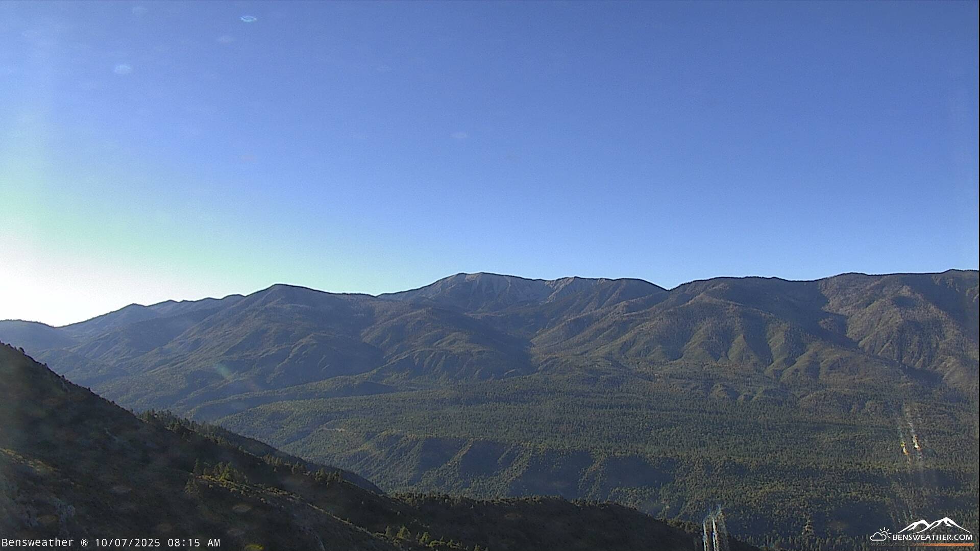
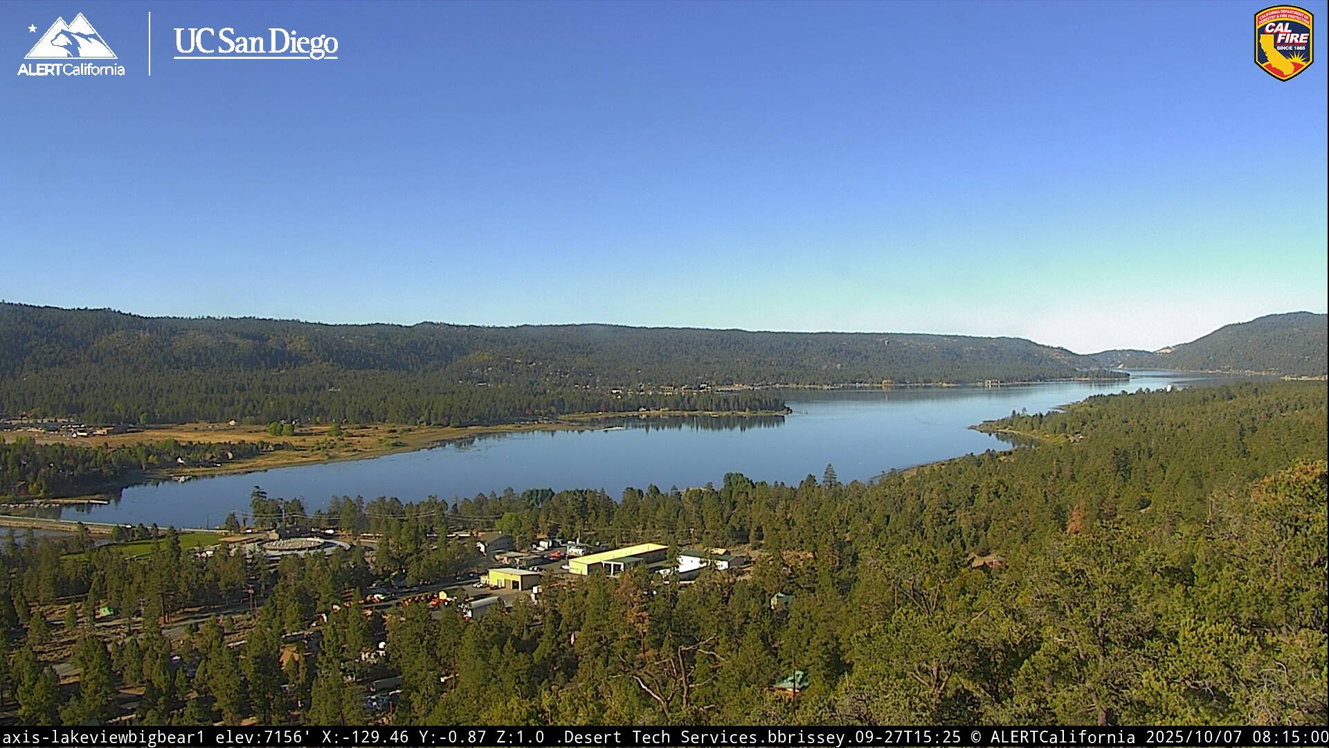
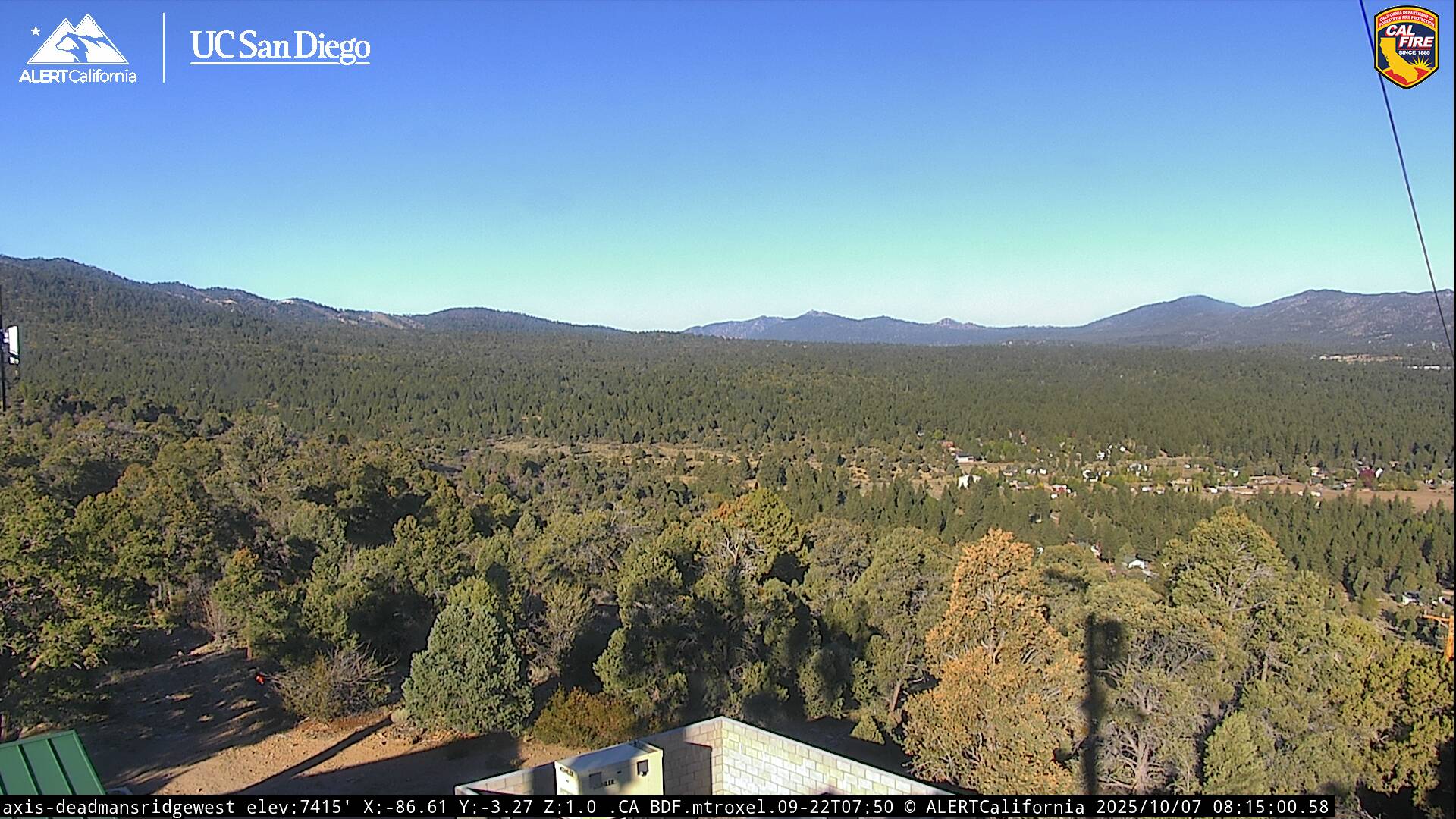
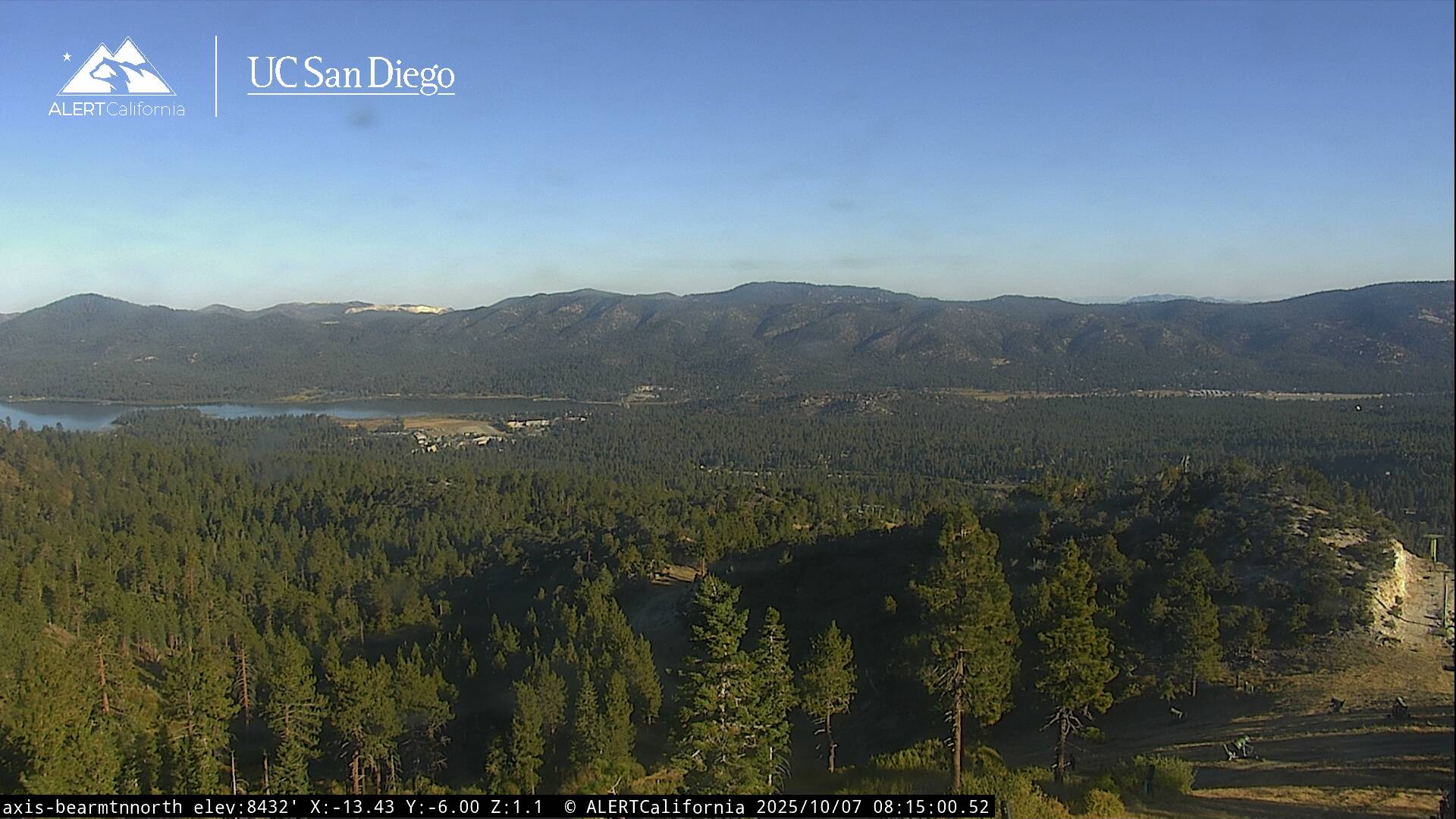
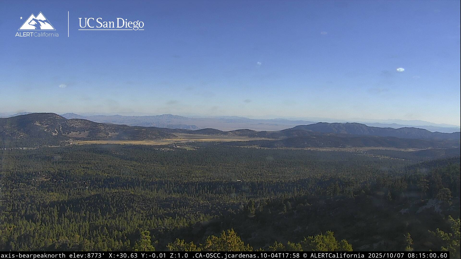
Live Cams