
Saturday Sunny |
Sunday Sunny |
Monday Sunny |
Tuesday Sunny |
Wednesday Sunny |
Thursday Sunny |
Juneteenth Sunny |
|
| High: 81 °F | High: 80 °F | High: 83 °F | High: 85 °F | High: 82 °F | High: 78 °F | High: 76 °F | |
Overnight Clear |
Saturday Night Clear |
Sunday Night Clear |
Monday Night Clear |
Tuesday Night Clear |
Wednesday Night Clear |
Thursday Night Clear |
|
| Low: 49 °F | Low: 48 °F | Low: 46 °F | Low: 47 °F | Low: 47 °F | Low: 44 °F | Low: 42 °F | |
Ben's WX Summary
- Updated: Friday @ 05:10pm
An upper-level low-pressure system remains stalled off the Northern Baja coast, drawing tropical (monsoon) moisture northward into the Desert Southwest. Unfortunately, most of this moisture is above 500 mb, with mostly just some high clouds, and no major triggering mechanism for instability. As a result, we'll see a few afternoon clouds through the weekend, but any thunderstorm activity will mostly stay east of the Colorado River, for now. Expect mostly clear skies this evening, locally breezy with west winds 10-15 mph, decreasing after sunset as lows cool to the upper 40s. Temperatures will top out about 5 degrees above average through the weekend as daytime highs hover near 80 degrees, with overnight lows generally in the 40s. Afternoons will remain breezy with westerly winds gusting 10-20 mph at times. High pressure will strengthen a bit through early next week, pushing daytime highs into the mid-80s, cooling to the upper 70s later in the week with dry spring weather ahead.
| Current Conditions | Wind | Rain | Outlook | ||||||||||||||||||||||||||||||||||||
|
|
|
|
||||||||||||||||||||||||||||||||||||
| Humidity & Barometer | Snowfall | Moon | |||||||||||||||||||||||||||||||||||||
|
|
|
|||||||||||||||||||||||||||||||||||||
| UV Index | Solar Radiation | ||||||||||||||||||||||||||||||||||||||
|
|
||||||||||||||||||||||||||||||||||||||


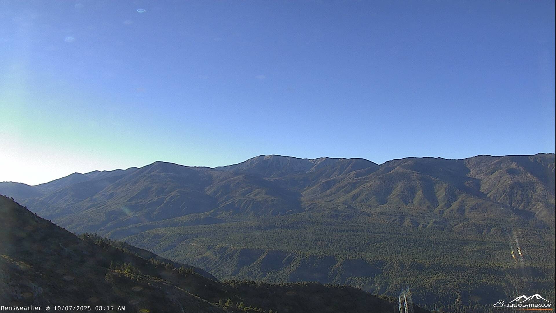
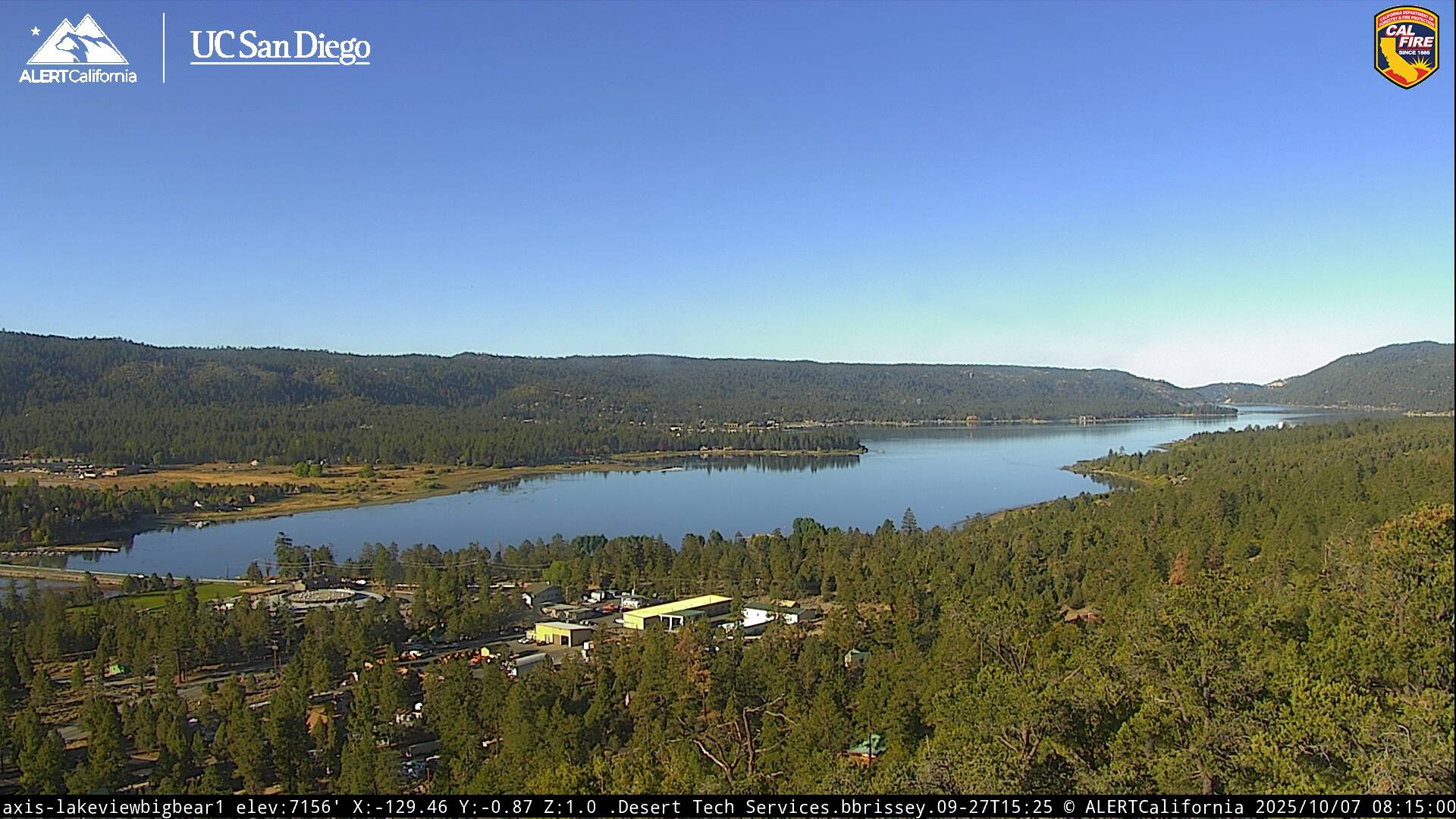
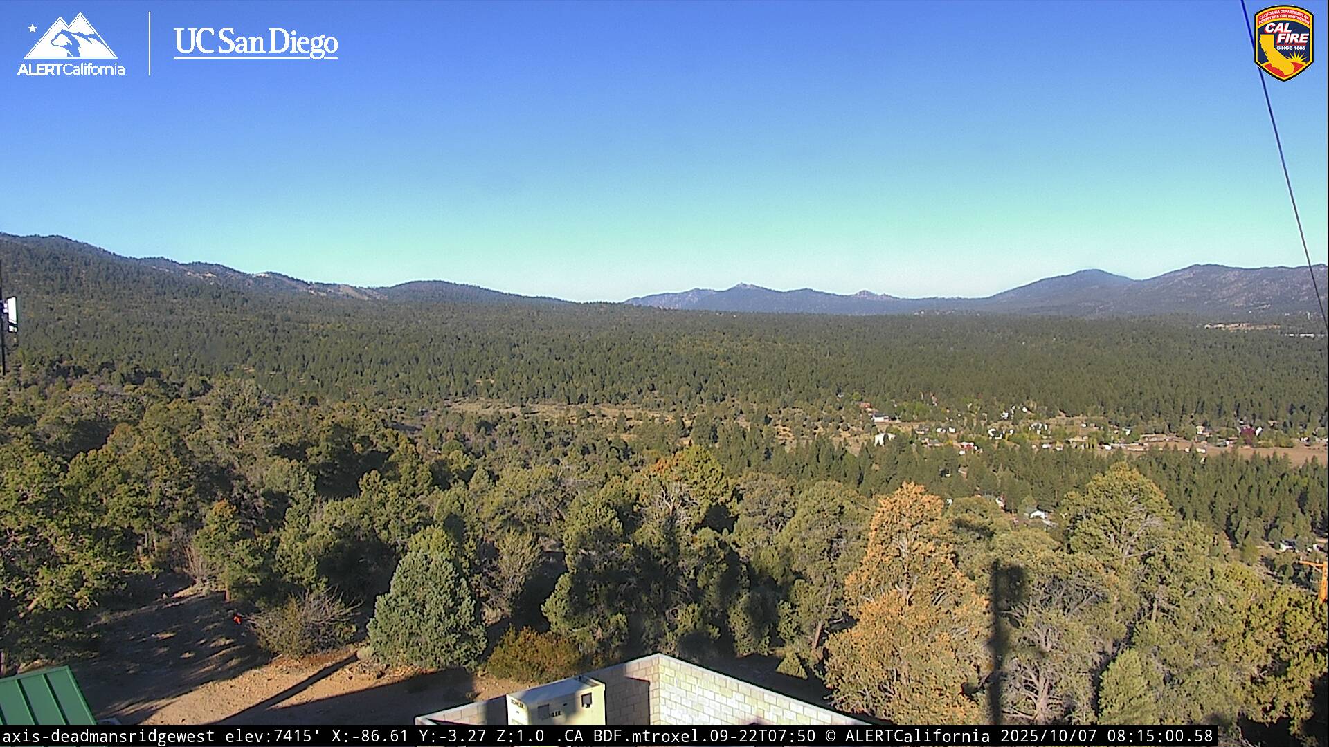
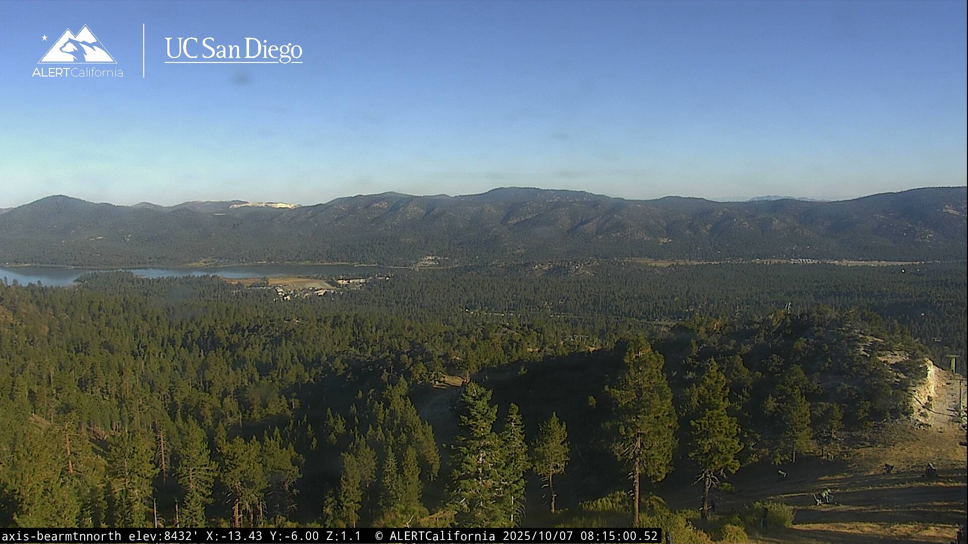
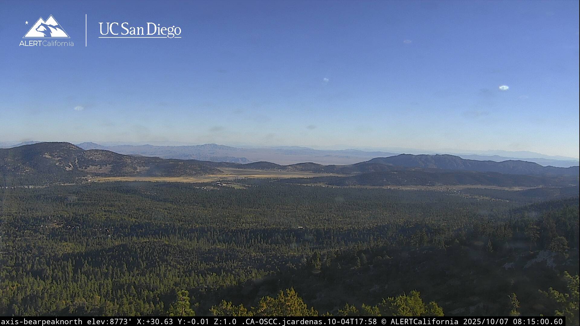
Live Cams